
POSITION DETERMINED

The Grenspalenklassieker is more than a tour, it is an experience along the border between the Netherlands and Belgium with beautiful and sometimes impressive stories about the 2e world war, the death wire, smuggling routes and much more!
There are 369 boundary posts along this border and if you count the double ones on either side of the Meuse, there are as many as 401. Where exactly are they and what stories lie behind these boundary posts?
You can find the answers to these questions here! Together with the Land Registry, which has information on every CM² in the Netherlands, we have mapped all border posts. And in the run-up to each tour, we will tell you three fun border post facts, because as you already know; #elkepaalheftzijnverhaal
")
BOUNDARY POST FACTS
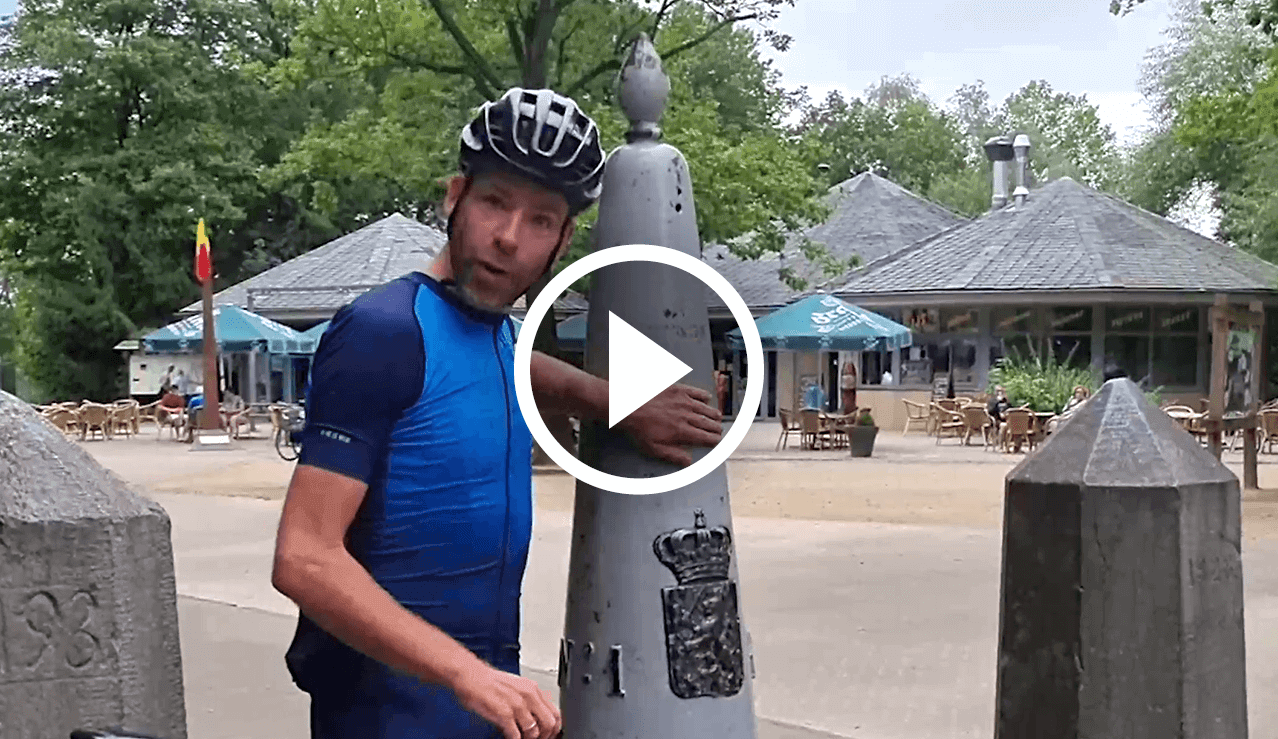
No1
THE FOUR-COUNTRY POINT
Did you know that the Drielandenpunt used to be a Four Country Point? Anyone who pays close attention to the ...
No35
GEALLY
'In the footsteps of the liberators'. It is 12 September 1944, 10am, during World War II. At this time, the first ...
No51
SAINT PETER'S MOUNTAIN
Did you know that boundary marker 51 stands on one of the oldest inhabited hills? Boundary marker 51 stands at the highest point of the Sint Pietersberg. This point on ...
No80
IMPROVED
'A historical route'. Did you know that the Tongerseweg was a historical route between the Roman cities of Maastricht and Tongeren? This road runs all the way ...
No108
GRENSMAAS
'How the Meuse has changed over time'. Did you know that the 'Grensmaas' is a 43 km long section of the Meuse? This area forms the border between Belgium and ...
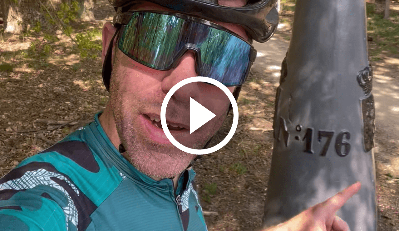
No176
2 POSTS IN 1 LOCATION
Did you know that this post stands at two borders? The official national border of the Netherlands-Belgium and the border between the Barony of Cranendonck and the ...
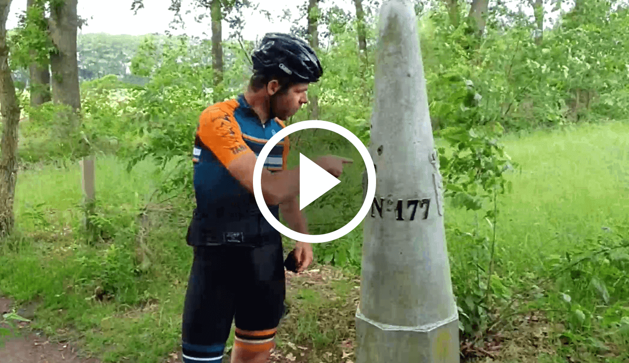
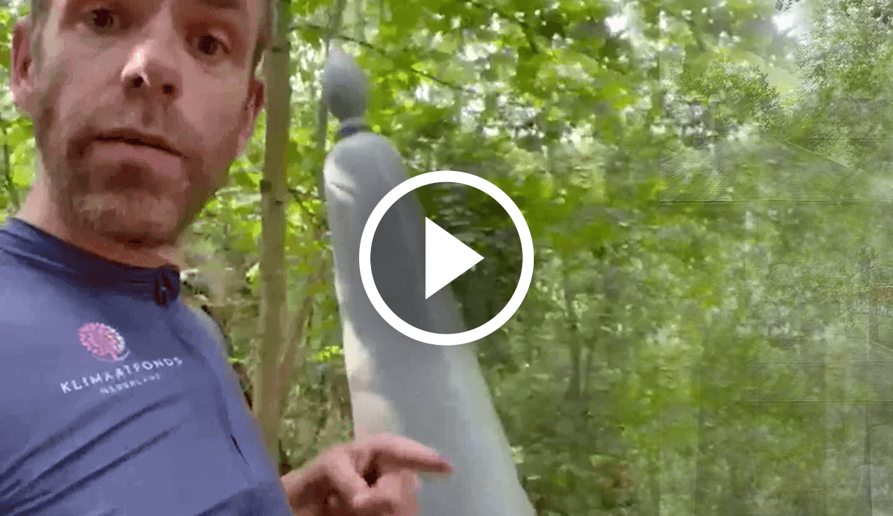
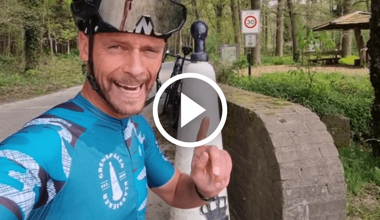
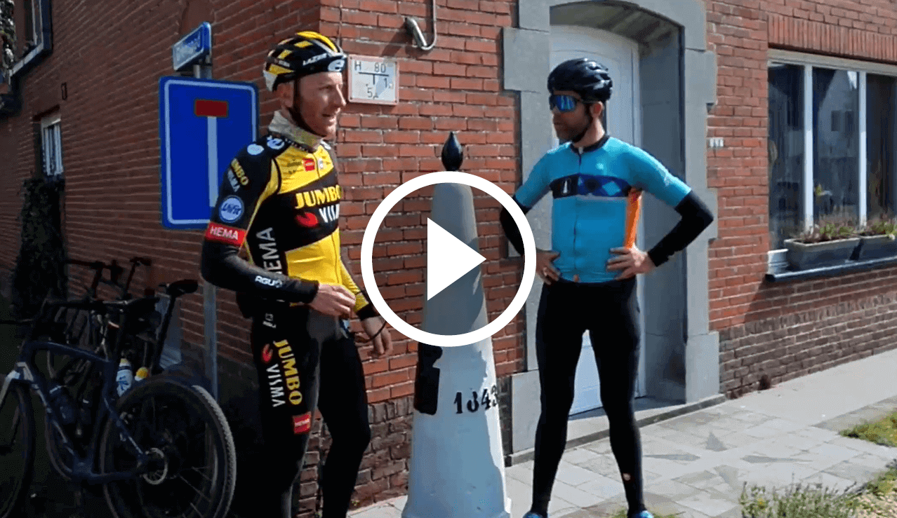
No177
THE ABDIJ
Each pole has its story, with the short video featuring Bram Tankink talking about Boundary Pole 177 and the connection with the Abbey and its delicious Trappist beer.
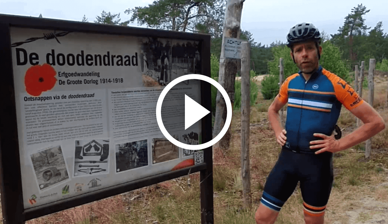
No187
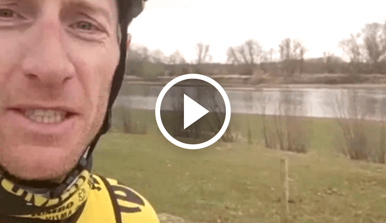
THE DEATH COUNCIL
Did you know that during the war 450 km of barbed wire formed the national border? As you have also seen at border post 174, in World War I it saw ...
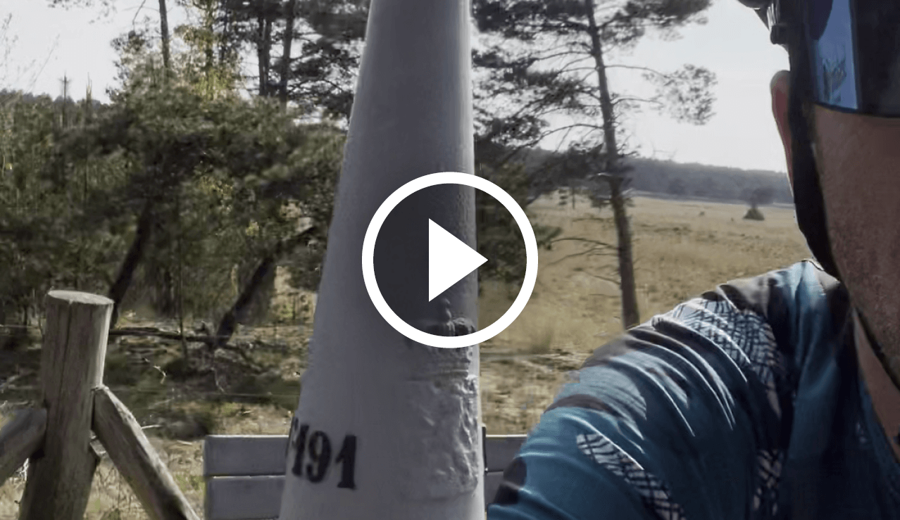
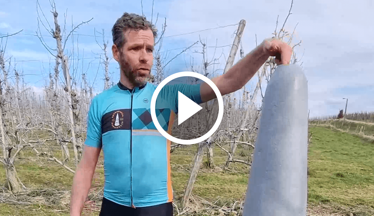
No191
HIGHEST POINT BRABANT
Did you know that this boundary marker stands at the Venakkerbos? The highest natural point in Brabant. This point is only 30 centimetres higher than the second ...
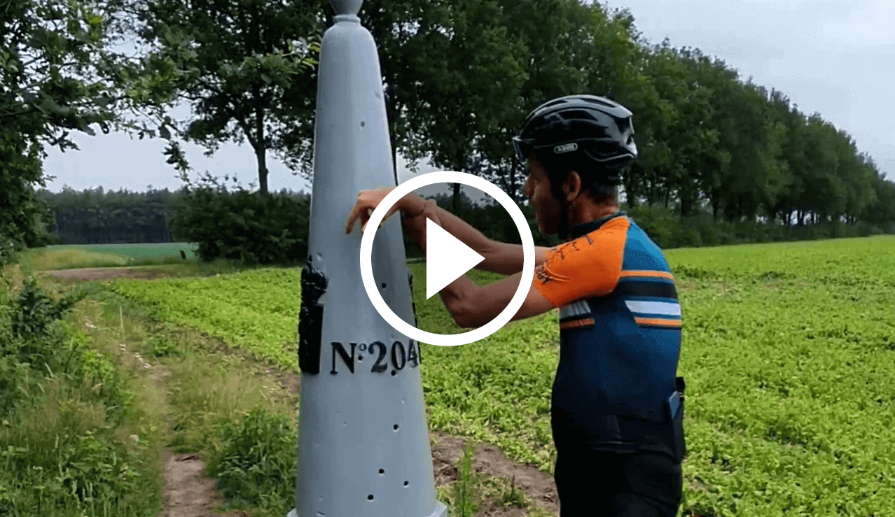
No204
CABLE HOLES
Each pole has its story with in this short video the concrete plinth that served as a cover during the war. Boundary post 204 did not escape several bullet holes.
No209
LONGEST STRETCH OF BORDER
Did you know that this boundary post is special? The post is very deeply buried which makes it look very small. Also, the number is a bit hard to see, ...
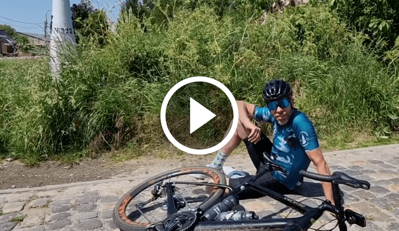
No322
LOVE OF CASSOCKS
Did you know that if we zoom in on this area Topo time travel.nl, the Western Scheldt in the 19the century before this boundary post flowed? This estuary was called the ...
No326
SMOKKELWEG
Every pole has its story with in this short video Border Pole 326, located on Smokkelweg. A street with a story, where the name speaks volumes.
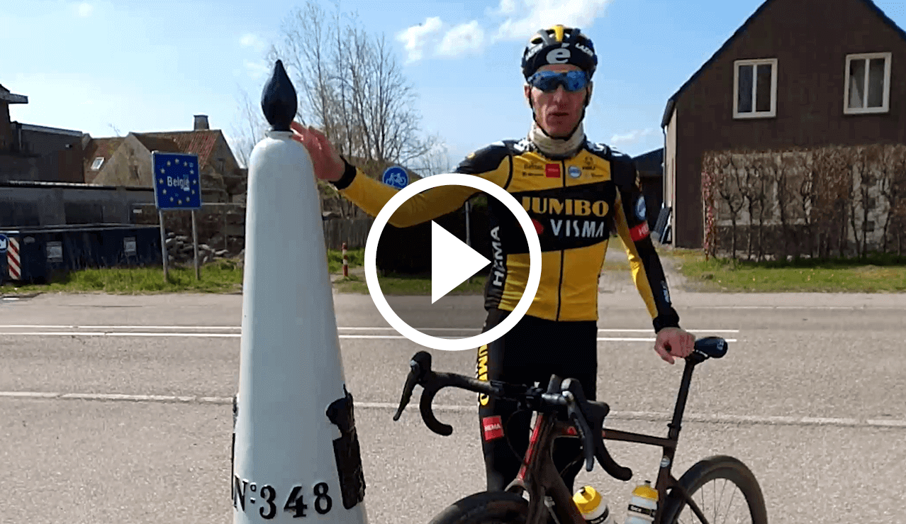
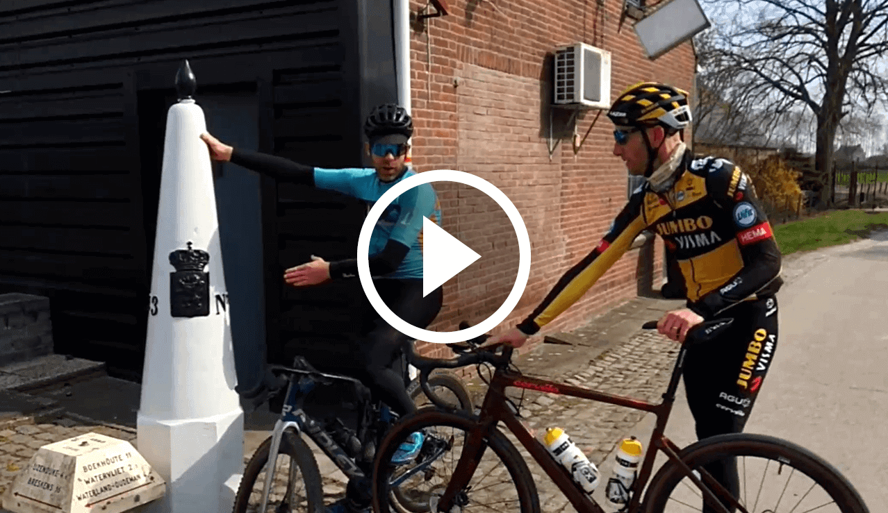
No348
QUEEN JULIANA
Each post has its story, with in this short video Jos talking briefly but powerfully about border post 348, where Queen Juliana set foot on Dutch soil again after the war.
No349
HOUSE
Each pole has its story, with this short video featuring the home that knows land in two countries. For sale in negotiation, with Boundary Pole 349 right at your front door, for those boundary pole fanatics who see their dream home in this one.
Check out all the Boundary Pole facts on the Borders Classic Youtube channel